In 1980, Indian scientists looking at satellite photographs of the northern plains found the track of a vanished river, written on the land in the colour of the vegetation growing over it
In 1980, a team of Indian scientists led by the physicist Yash Pal published a study of satellite images taken over northern India between 1972 and 1977.
They were looking for something that was not there any more.
And on the Landsat pictures, across Punjab, Haryana and Rajasthan, they saw it: a long, curving band, standing out from the land around it. It was not water. It was vegetation. Along the old bed of a dead river, the soil is richer and loamier than the ground on either side, and the plants that grow there are greener and thicker. From space, that stripe of green drew the course of a river that had stopped flowing thousands of years ago.
It was not water. It was vegetation, growing greener along the bed of a river that no longer existed.
In the oldest of India’s texts, a river called the Sarasvati is praised as great and powerful, and grouped among the rivers of the north-west. In later Sanskrit literature, the same river is spoken of as having vanished into the sands.
So for more than a century, scholars have asked a simple question with complicated answers: was there a real river, and where did it go?
The dry bed
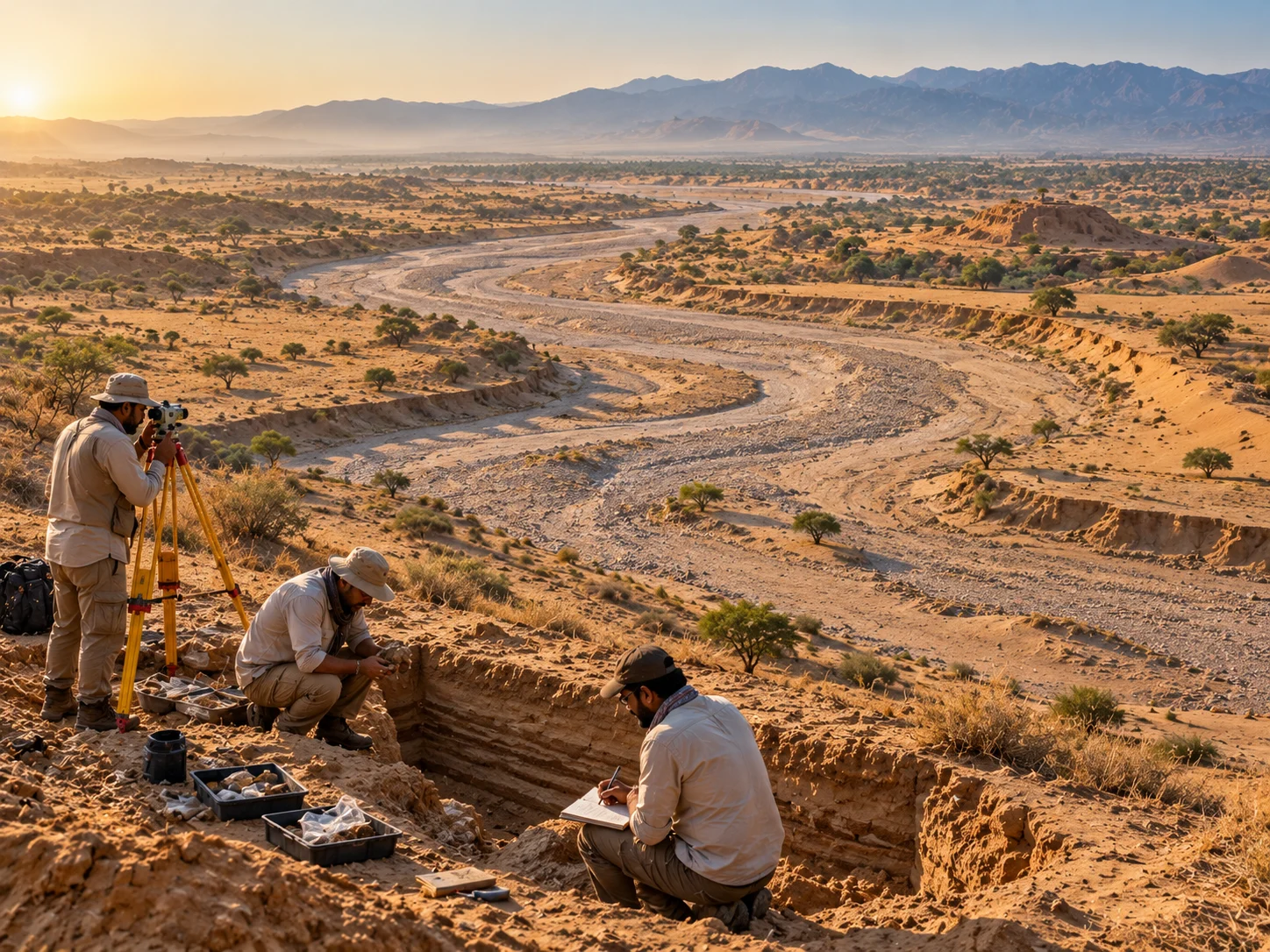
There is a dry bed to look at. It runs from the Shivalik foothills down through Haryana and Rajasthan and into Pakistan: called the Ghaggar in India, the Hakra further west, and joining, in its lower reaches, the Nara in Sindh.
Today the Ghaggar only flows in the monsoon, and dies out in the Thar desert. But it is huge for what it carries. In places the old channel is far broader than the trickle that runs in it now. Nineteenth-century British surveyors noticed this, and suggested that this great dry bed was the Sarasvati of the hymns.
Yash Pal’s satellite study, and dozens of surveys after it, filled in the map: buried channels under the fields, a sudden widening of the Ghaggar near Patiala, old courses of the Yamuna swinging west to join it.
The next question was when, and that is where the story turns.
Digging into the sediments and dating the sand grains, geologists found that the great channel under the Ghaggar-Hakra had once carried a Himalayan river, and that the river was the Sutlej. At some point the Sutlej swung away west, into the course it follows today, and left its old bed behind.
The dating is the difficult part, and different teams have reached different answers. Published estimates for the Sutlej’s departure range from around eight thousand to around seventeen thousand years ago. Another study suggested that glacier-fed rivers had stopped flowing through this stretch of country earlier still, tens of thousands of years back.
Either way, both dates fall before the Harappan cities were built on the banks of the Ghaggar-Hakra, at Kalibangan and elsewhere. The same researchers concluded that those cities stood beside a monsoon-fed seasonal river, not a great glacier-fed one.
The river the cities were built beside may already have been a monsoon river, not a Himalayan one.
This is where the disagreement lives, and it is worth stating plainly.
Some scholars hold that the Ghaggar-Hakra is the Sarasvati of the Rigveda, that it was mighty within human memory, and that its drying explains both the hymns and the decline of the settlements along it. Others hold that the great Himalayan flow ended long before the Vedic hymns were composed, so that whatever river the poets praised cannot have been that one in its full strength, or was a different river altogether.
The question is also entangled with much larger arguments about the age of the Vedas and the origins of Indian civilisation, which is why it is argued over with such heat. The geology, for what it is worth, is still being worked out.
Still there
Meanwhile, the river has not entirely gone.
Under the dry channel, in the old sands, lies groundwater. Wells sunk into the buried course have brought up drinkable water, and dating of that water has returned ages of thousands of years. Farmers in Haryana and Rajasthan are, in a literal sense, still drinking from a river that stopped flowing on the surface before their ancestors arrived.
And every growing season, the crops go on doing what they did for the satellite cameras in the 1970s: standing a little taller, a little greener, in a long, curving line across the plains, marking the way a river used to go.
If you think you have remembered everything about this topic take this QUIZ
Is the Sarasvati River a real river or just a myth?
Modern geological and satellite evidence strongly proves that it was a very real, massive river that flowed through northwestern India thousands of years ago before completely drying up.
What caused the mighty river to disappear?
Scientists believe that massive tectonic earthquakes shifted the land, causing its two main water sources (the Yamuna and Sutlej rivers) to change their courses, starving the Sarasvati of glacial water.
How did scientists actually find the dry riverbed?
The Indian Space Research Organisation (ISRO) used advanced satellite radar imaging that can see through the dry desert sand, revealing a massive, continuous paleochannel (ancient riverbed) underneath.
Where is the invisible river said to flow today?
Spiritually, it is believed to flow underground and meet the Ganga and Yamuna rivers at the Triveni Sangam in Prayagraj. Geologically, its dry bed lies under the modern Ghaggar-Hakra system.
Are there any plans to bring the river back?
Yes, certain state governments, like Haryana, are actively working on heritage projects to pump fresh water into parts of the ancient channel and build small dams to honor its historical legacy.
Sources & References
Yash Pal, B. Sahai, R.K. Sood and D.P. Agrawal, “Remote sensing of the ‘lost’ Sarasvati river”, Proceedings of the Indian Academy of Sciences (1980) — the Landsat imagery, the vegetation signature of the palaeochannel and the course traced through Punjab, Haryana and Rajasthan.
A.V. Sankaran, “Saraswati: the ancient river lost in the desert”, Current Science (1999) — the widening of the Ghaggar near Patiala, the palaeochannel surveys and the potable groundwater in the buried channel.
Ajit Singh et al., “Counter-intuitive influence of Himalayan river morphodynamics on Indus Civilisation urban settlements”, Nature Communications (2017) — the Sutlej’s avulsion and the monsoon-fed river beside the Harappan settlements.
The Wire Science, “The Saraswati is a river that never was, and flowed always in the people’s hearts” (2019) — a summary of the competing datings and the debate around them.
Paripurna Datta is the founder and editor of Curious Indian, an independent editorial publication focused on Indian history, culture, science, society, and the stories behind them. He oversees research, editorial standards, and the publication's long-term direction.
Paripurna Datta is the founder and editor of Curious Indian, an independent editorial publication focused on Indian history, culture, science, society, and the stories behind them. He oversees research, editorial standards, and the publication's long-term direction.